
Making a 3D model and exporting the fly-over video
The app builds a model of the parcel's terrain and buildings from contour lines, drapes it with the aerial image, and records a video circling it. The screenshots are from the iPhone app; the example is parcel 70, block 24009, Nablus. The model is available to registered accounts.
-
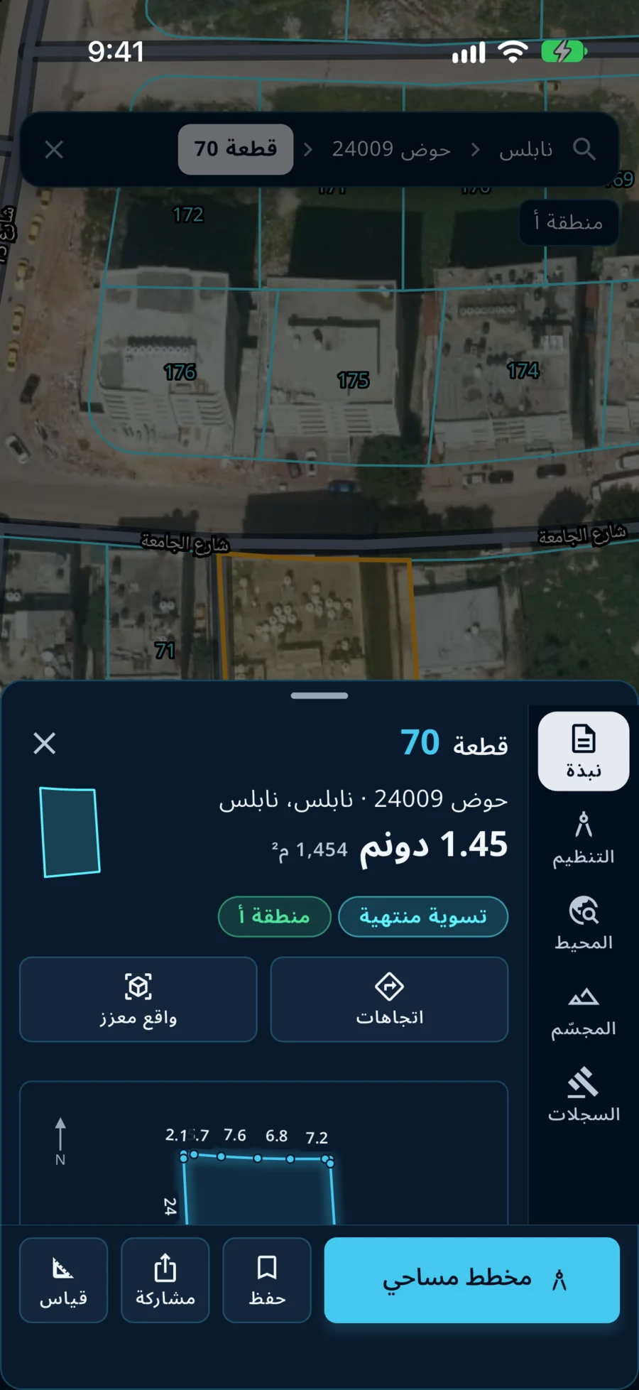
Open the 3D section
Open the parcel on the map, then choose «المجسّم» (3D model) in the column of sections at the side of its card.
-
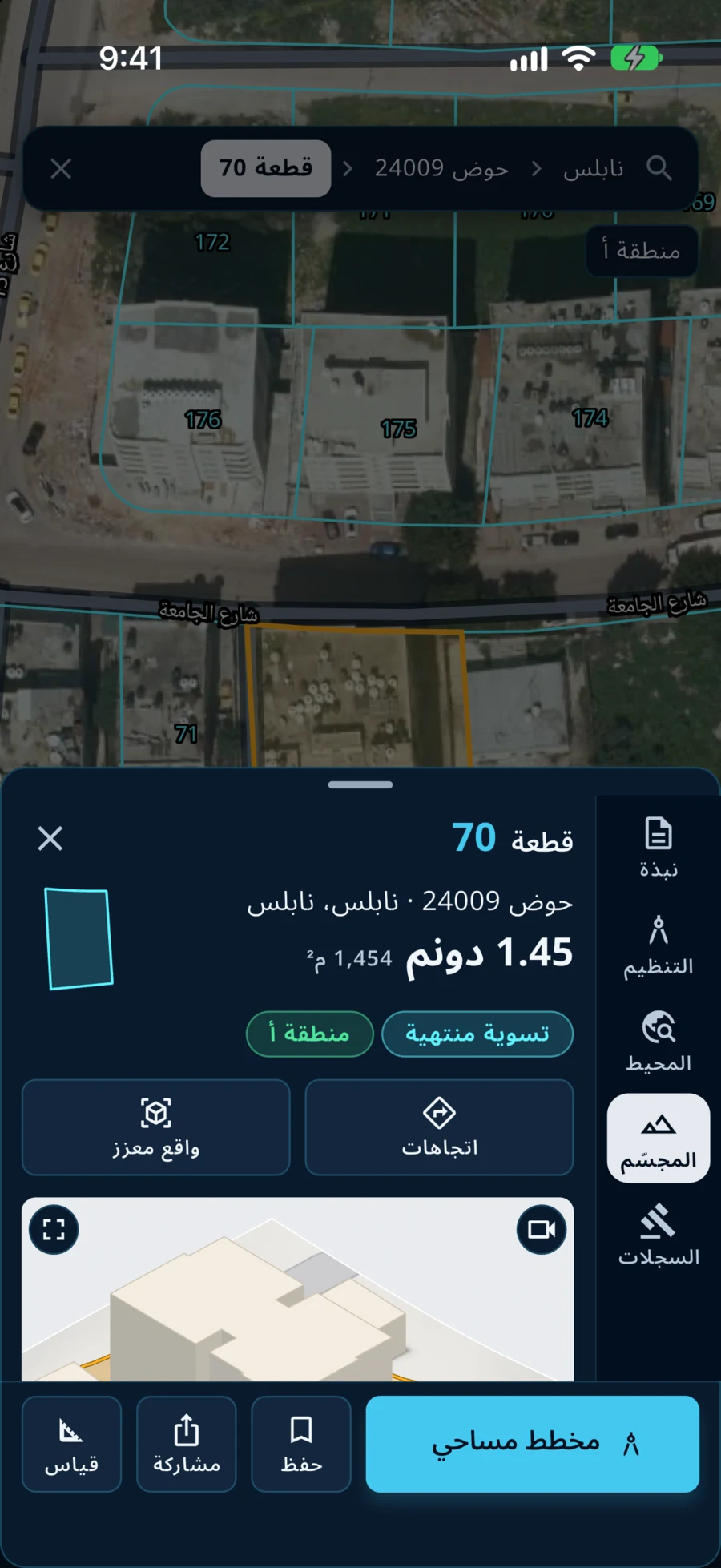
Wait for the model
The model is built in the «قياسي» (standard) style: ground, building masses and the parcel boundary in orange. Rotate and zoom it by touch. Below are three styles: «قياسي» (standard), «فني» (artistic), «صورة جوية» (aerial image).
-
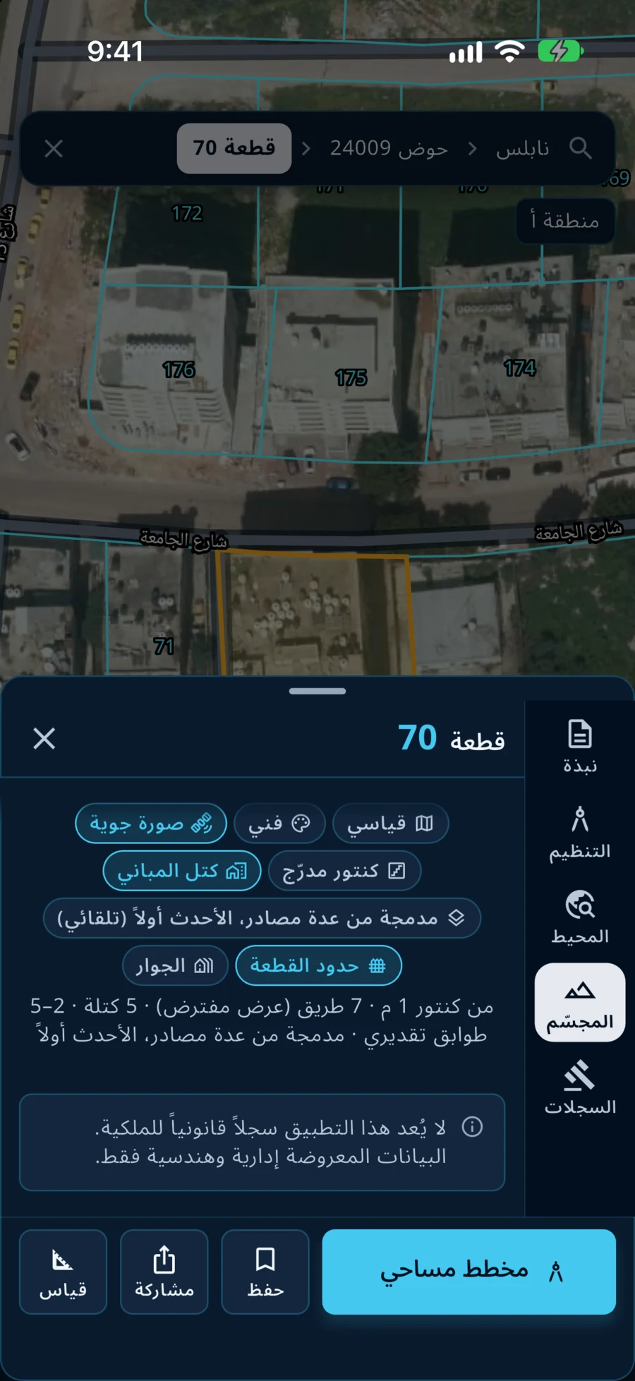
Choose the aerial image
Press «صورة جوية» to drape the model with the aerial image. The other buttons set what shows: «كتل المباني» (building masses), «كنتور مدرّج» (stepped contours), «حدود القطعة» (parcel boundary), «الجوار» (surroundings). A line below states the contour source and the number of buildings and roads.
-
Press the video button
At the top corner of the model is the «فيديو تحليق» (fly-over video) button. Press it to record a full circle around the parcel in the chosen style.
-
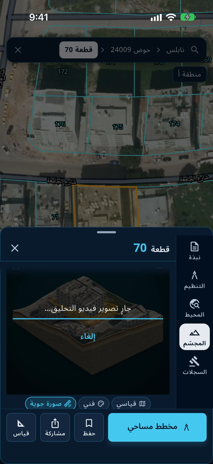
Wait for the recording
The message «جارٍ تصوير فيديو التحليق…» (recording the fly-over) appears with a progress bar; «إلغاء» cancels it.
-
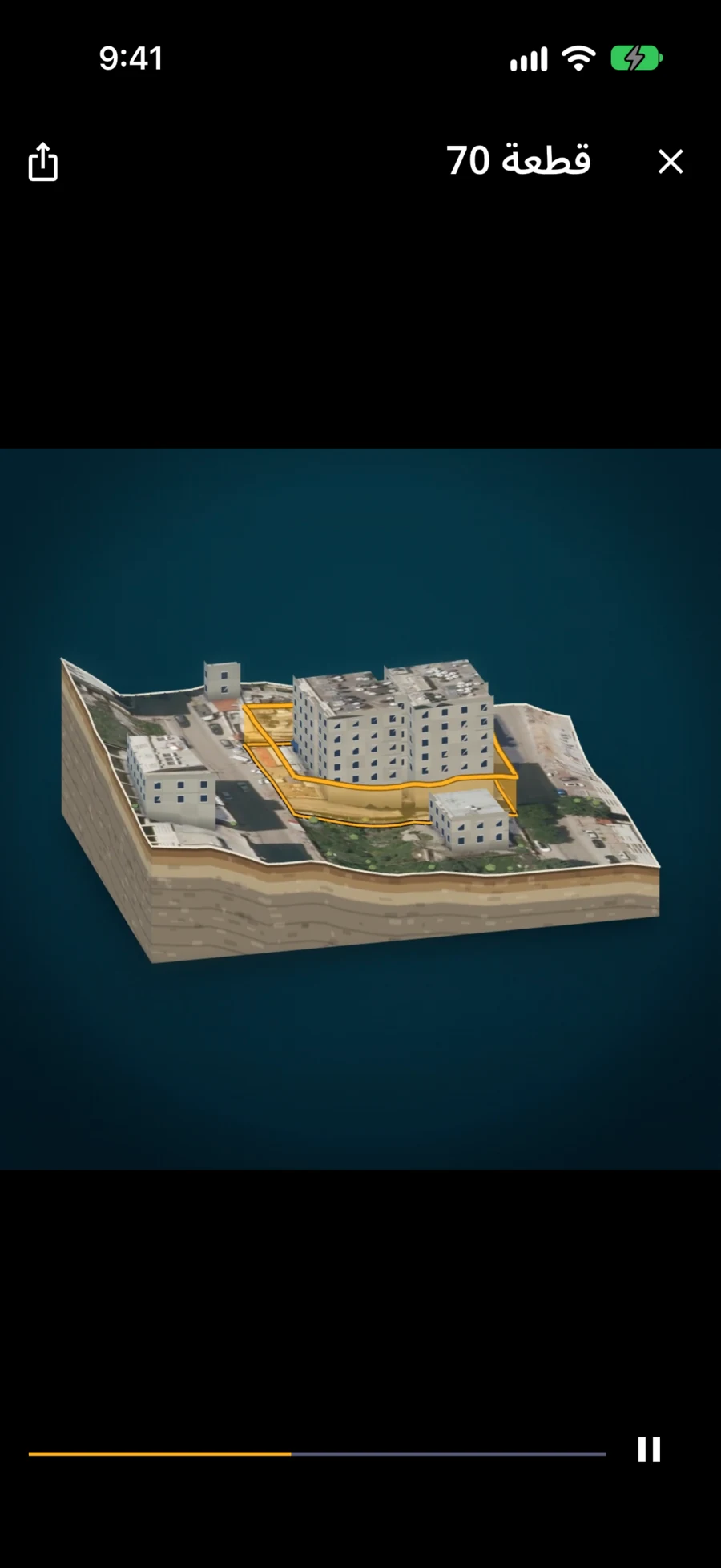
Watch and share
The video opens in a player inside the app. The share button at the top saves or sends it.
Building heights in the model are estimates, and the model is for viewing and study, not measurement. To export the model itself as a file (glTF, USDZ or LandXML), open «مخطط مساحي» and press the model export icon; see the survey plan tutorial.
Qushan — the parcel data shown is administrative and geometric, and is not a legal record of ownership.