
Measuring distance and area on the map
The measuring tool computes the length of a line or the area of a polygon you draw on the map, and its points snap to parcel corners and boundaries.
-
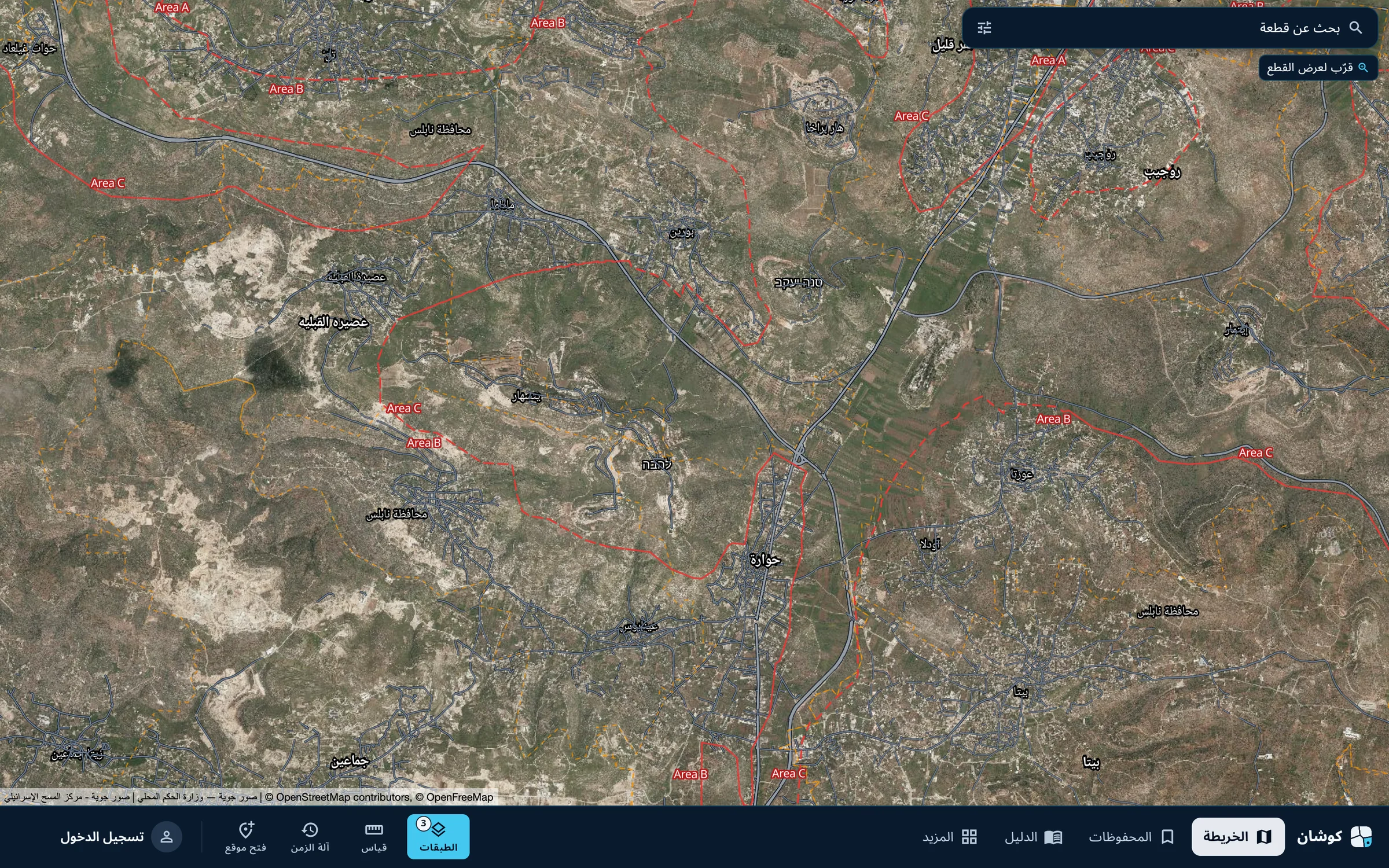
Start measuring
Press «قياس» (Measure) in the bar at the bottom.
-
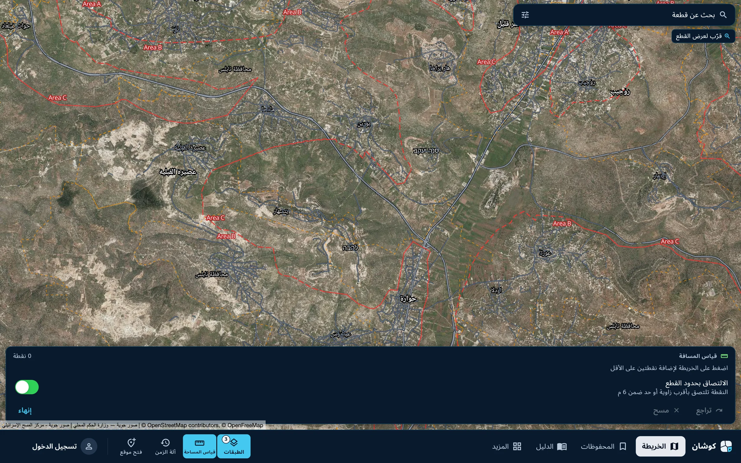
Place the points
The «قياس المسافة» (Measure distance) panel appears at the bottom of the map. Press on the map to add at least two points. The switch «الالتصاق بحدود القطع» (Snap to parcel boundaries) makes a point snap to the nearest corner or edge within 6 metres.
-
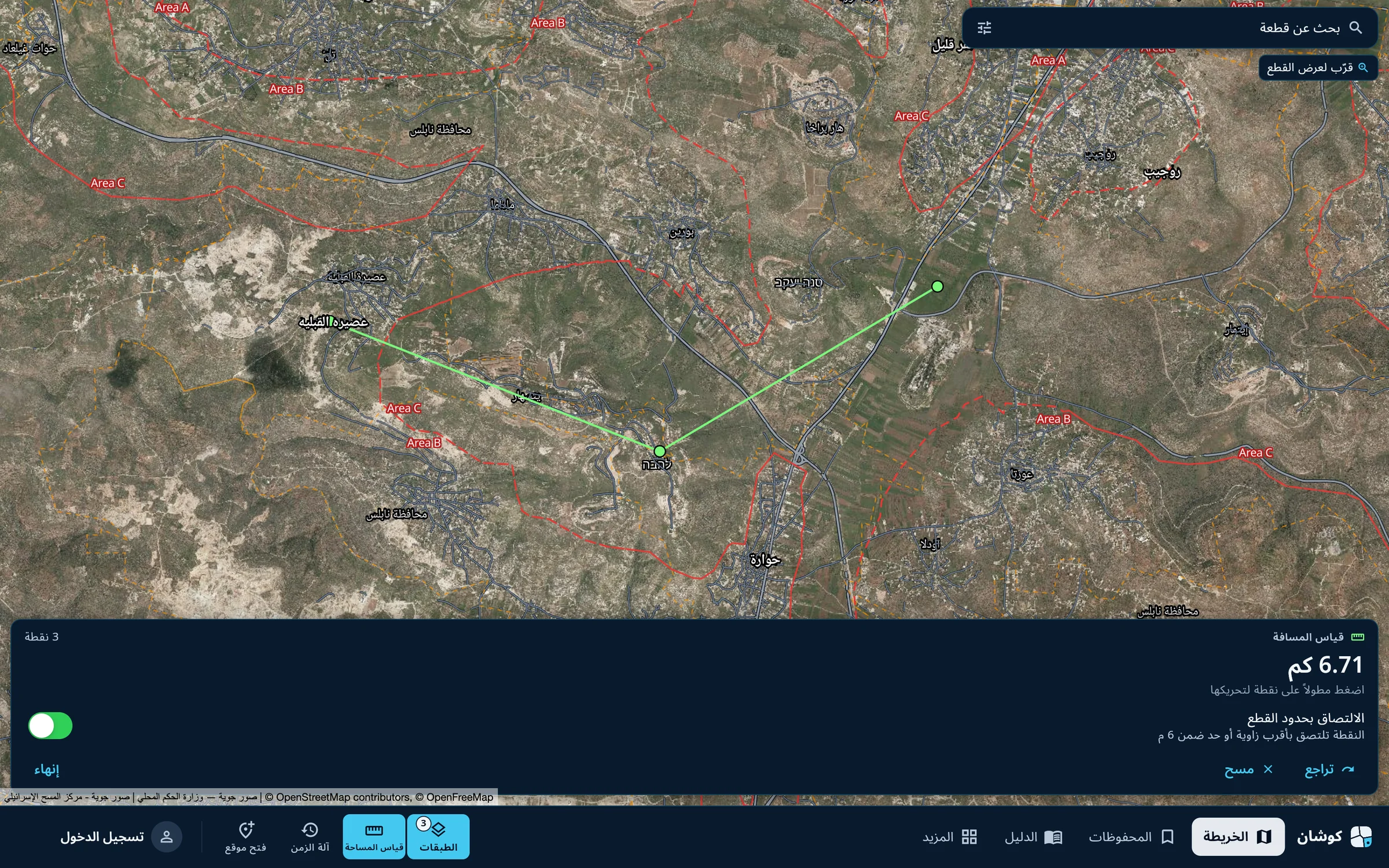
Read the distance
The total length updates with each point. Press and hold a point to move it; «تراجع» (Undo) removes the last point and «مسح» (Clear) starts again.
-
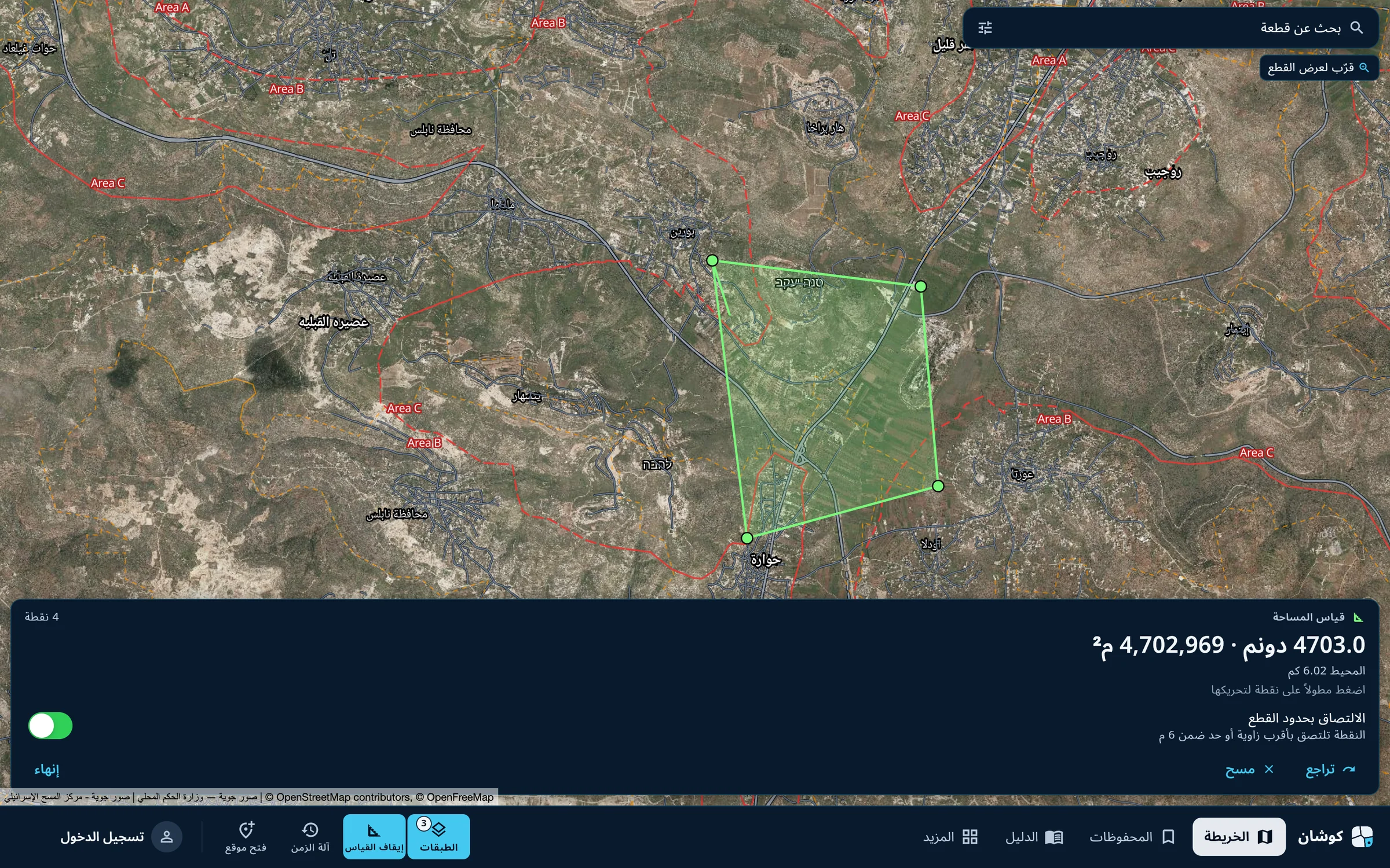
Measure an area
Press the same button in the bottom bar, now named «قياس المساحة» (Measure area), and place three or more points. The panel shows the area in dunums and square metres, and the perimeter. «إنهاء» (Finish) closes the tool.
Measurements on the map are estimates and depend on the accuracy of the imagery and the drawn boundaries. For binding boundaries and lengths, consult a licensed surveyor. The survey plan the app issues is described in the survey plan guide.
Qushan — the parcel data shown is administrative and geometric, and is not a legal record of ownership.